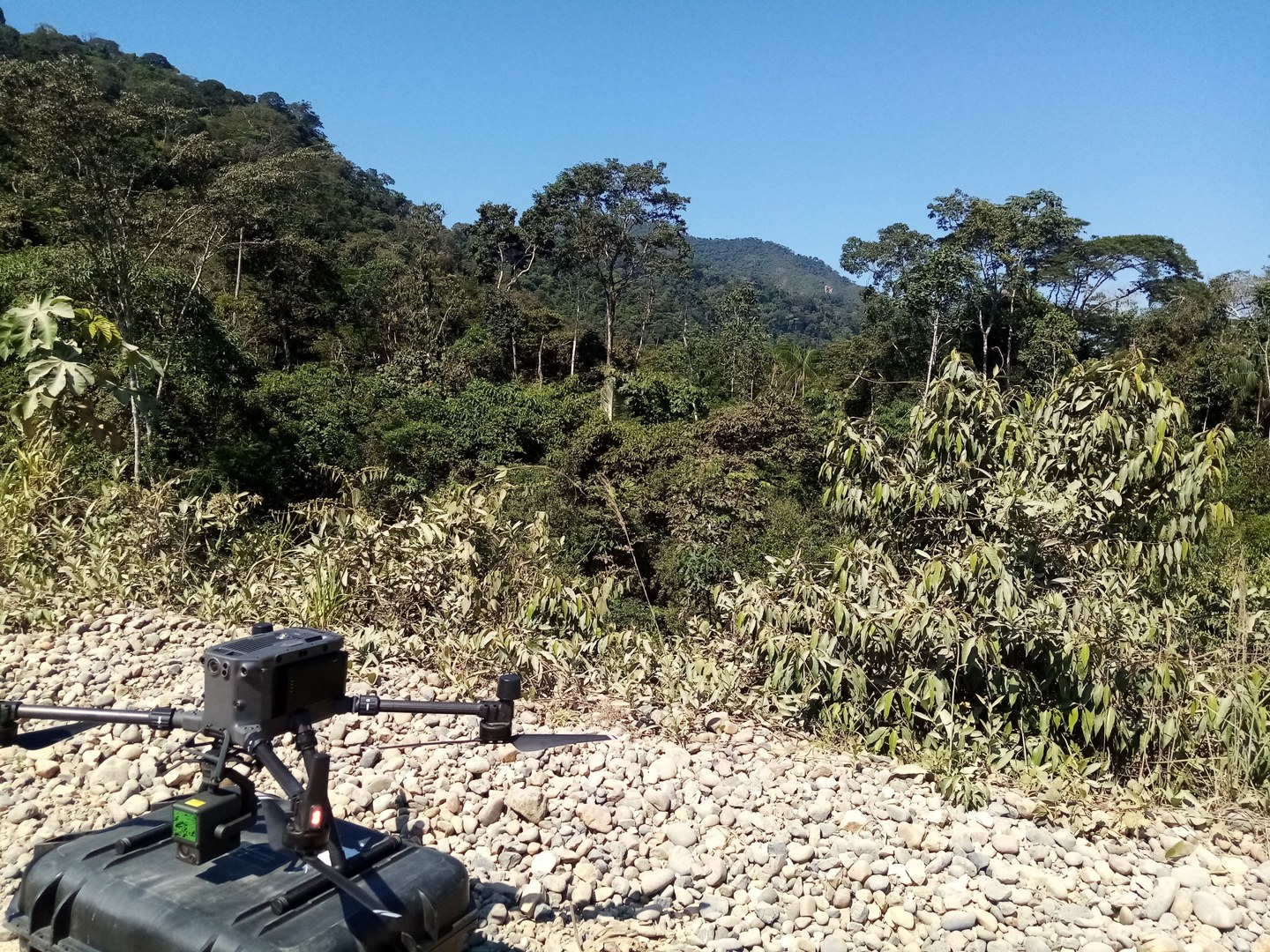
During the year 2023, engineer Renán Torrico flew with drone and LiDAR technology over areas of the Tacana (CIPTA), Tsimane' and Mosetén (CRTM) territories, where the communities indicated the existence of archaeological sites that they consider important to tell the history of their territories.
The necessary equipment was purchased by the University of Bonn in 2022 and consists of a DJI M300 RTK Drone with DJI Zenmuse L1 LiDAR sensor, communicating with a DJI DRTK-2 dual frequency reference station. This drone is capable of performing 22-minute flights in the field at a height in relation to the ground of 100 meters and a flight speed of 10 meters per second, obtaining a surveyed area of 36 hectares. In addition, we have 12 batteries that allow us to perform up to six flights per day, or the equivalent of covering a total area of 216 hectares per day. The final result is a DTM (digital terrain model) with a resolution of one point per 30 cm, which was used to produce and print maps that were then analyzed together with the communities to jointly choose the sites to intervene and the locations of the excavation pits.
LiDAR technology has played a crucial role in assessing the opportunities and potential for archaeological work. In places such as Macahua and Santa Rosa, its application made it possible to precisely delimit the perimeter of large archaeological sites with stone architecture, whose field mapping was extremely difficult due to dense vegetation. In Villa Alcira and San Miguel, it facilitated the identification of round villages characterized by larger central mounds surrounded by smaller structures that were practically indistinguishable on the ground.
The combination of local knowledge of the territory, the experience of the archaeology team, and the active participation of community researchers, together with LiDAR technology, proved to be essential elements during the 2023 field season.


